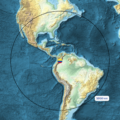
This is a nested set of maps as an animated image. The center is marked by an image. At large scales, the marker is a round image in the Colombian flag colors. At smaller scales, the marker is a red marker in the shape of the La Matilde lot with its alignment point at the main building complex. This map set was made with Wolfram Mathematica, which supplied the data except for the plot location which was extracted from the lot’s legal description. Wolfram Mathematica used data from the Shuttle Radar Topography Mission and Open Street Map.
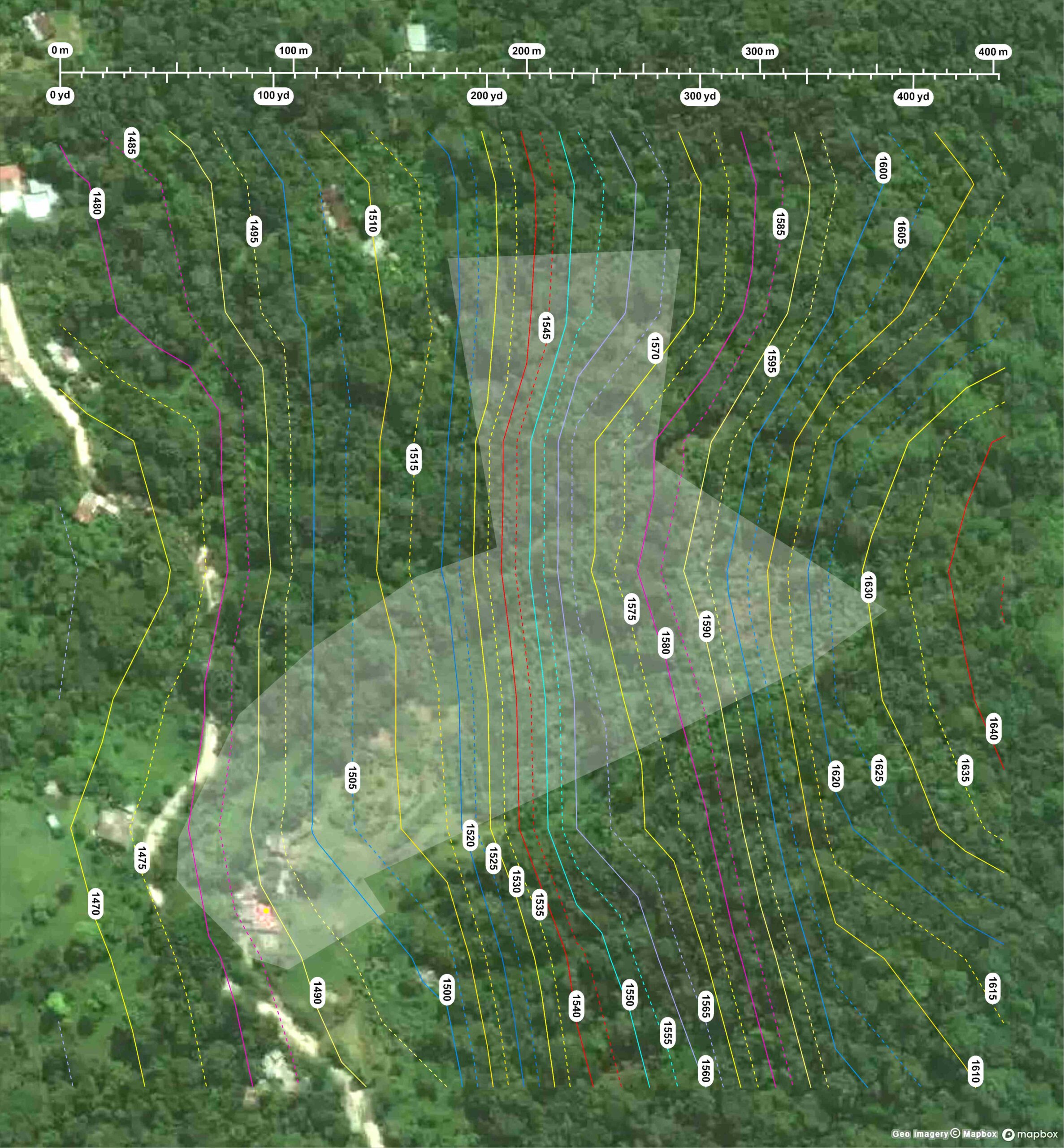
This is a contour map of the vicinity of La Matilde. The contour data is from US Shuttle Radar Topography Mission post-processed by MapTiler.com, and availed via Wolfram Mathematica. The contour vertical intervals are 5m. The boundary data was availed directly from Colombian government documents recording the property’s ownership and is the light gray sock shaped overlay.